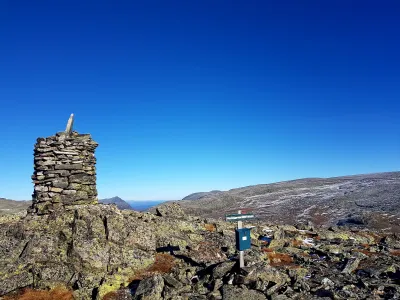
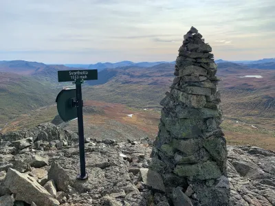
Skogshorn
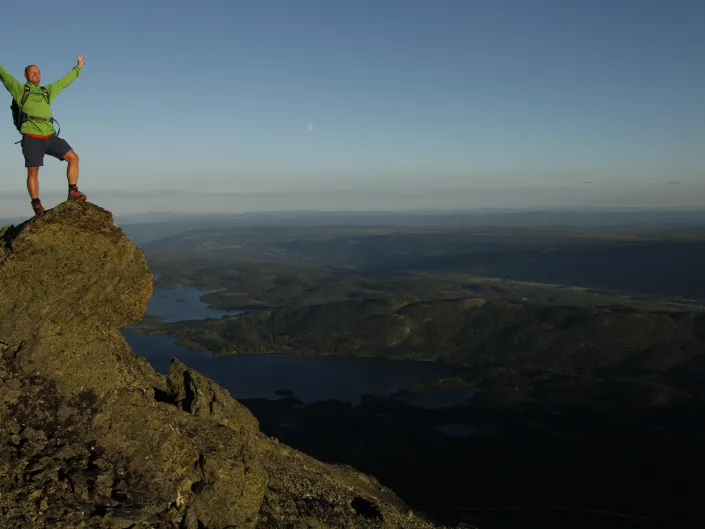
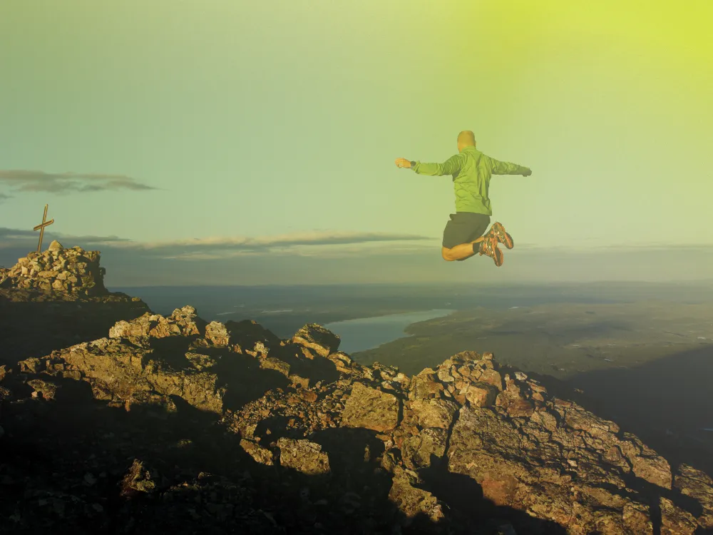
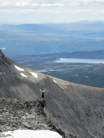
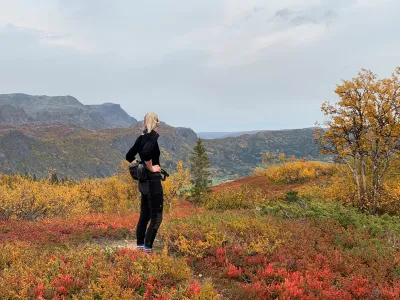
1728 meters high Skogshorn is located on the border between Hemsedal and Valdres, and is easily visible from long distance with its prominent and steep mountain slope facing south.
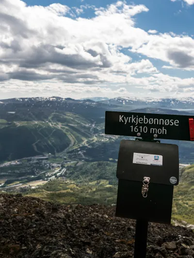
Skogshorn 903 - 1728 m
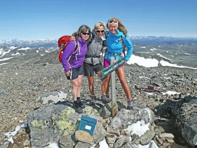
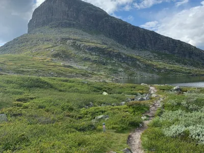
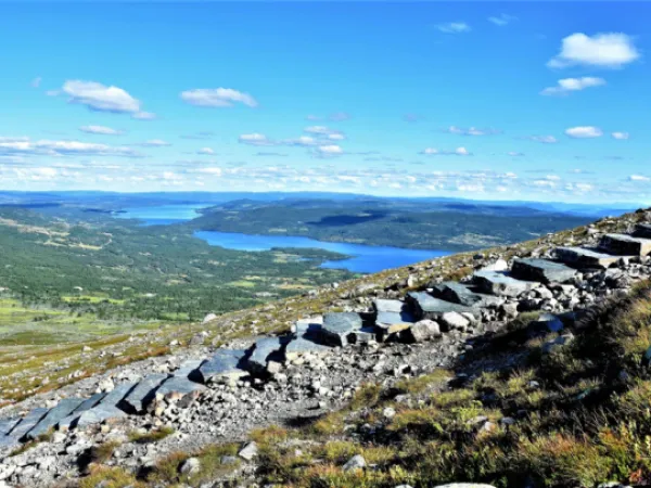
Hikers can now take a trip to the mountain Skogshorn (1728 meter above sea level) along a restored trail. The repairing work included building stonesteps, revegetate broken trail and controlling the water by creating water drains. Four Sherpa from Nepal have during 2017, 2018 and 2019 done the work repairing the trail.
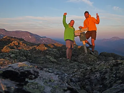
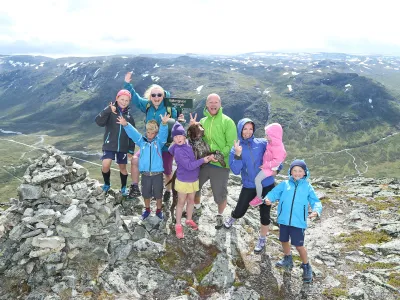
The top is climbed from the east and the hike can be a bit challenging, but may well be hiked by children - about 833 m vertical and approximately 9 km walk / return. Half way up to the summit you'll walk on a path, and then you'll meet the rocks that takes you to the top. Calculate about 4.5 hours on the trip.
There are built benches to sit down and take a rest 3 places along the trail.

Skogshornstienhas been newly restored
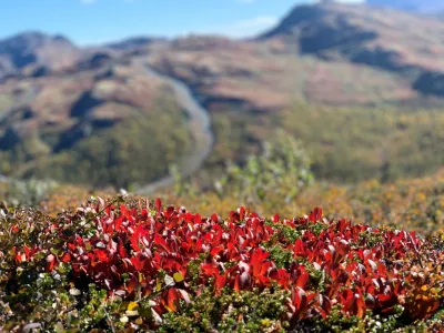
The trip up to Skogshorn (1728 m.a.s.l.) is on a newly restored path where wet bog areas and erosion-prone vegetation have been taken into account. This has been done by draining water out of the path, paving wet areas, building stone steps and revegetating areas. In line with an ever-increasing number of visitors to the mountain Skogshorn, more extreme rainfall will also pose a challenge that must be taken seriously.
Read more about the project here.
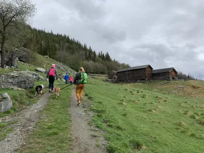
We urge all hikers to bring their garbage out of the area. Remember also to follow the marked trail. This will prevent additional wear and tear